It's more than a map... It's GIS!
Connecting your information data with geospatial technology can provide greater understanding and insights that will help you improve planning and accountability.

Connecting your information data with geospatial technology can provide greater understanding and insights that will help you improve planning and accountability.
We can help you harness the powerful geospatial technologies to solve a wide range of issues across your organization

Check out our Map Gallery — a collection of sample web maps we built to show you what's possible with custom geospatial solutions.
Works with QGIS and ArcGIS, but No GIS is required.
Solving complex problems with effective analysis often starts with good visualizations. Maps are the window to your data.
LEARN MORE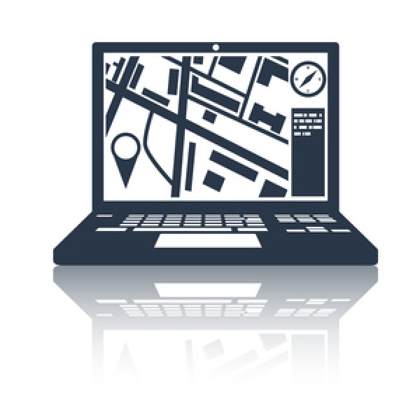
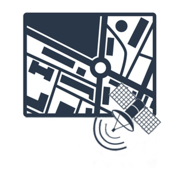
Drawing a map is the easy part. The power of GIS is the ability to identify relationships and patterns through spatial analysis and remote sensing techniques.
LEARN MORE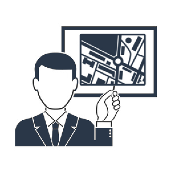
Learning how to use your GIS software with the help of a good instructor will greatly improve your ability to do more and get more from your software investment.
LEARN MORE
The geospatial industry continues to expand at a rapid rate. A good consultant can help you understand what is possible and get the most from your investment.
LEARN MOREImplementing a GIS your entire organization can utilize
Listen to our latest episode and explore the world of GIS technology and spatial analysis.
FOLLOW US